|
S.F. Northstars
M.C. A GPX file (mm2012.gpx, right click & save as...) with the preferred camp site ".CAMPSITE", other waypoints, & tracks of recommended rides. |

From California City ...

|
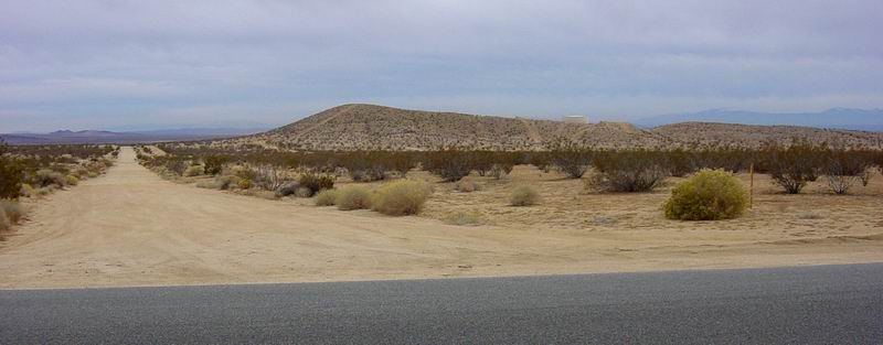
Directions to Campsite.
Camping Information: This is primitive camping. There are NO garbage cans, water, or restroom facilities where we camp. Garbage dumpsters and restrooms with water & pay showers are located at the Borax Bill Park, 3.6 miles west of Al Blvd. on 20-Mule Team Parkway. Borax Bill Park also has good cell phone coverage. Our camp site has Verizon cell coverage for some phones. You need to bring EVERYTHING with you that you require, and take it with you when you leave. It can be VERY windy & cold in the desert at night. Coleman tents from WalMart have been known to self-destruct with the occupants still inside! Good 3-4 season tents, properly guyed down will work, but can be very noisy in the wind. There are a few scrub bushes near by to dig a hole & set-up a potty behind. Experienced desert riders are in trailers, RVs, or vans; or have generous friends who share. Some folks share meals & food, but that's usually pre-arranged BEFORE the trip. Here's the list of things you should bring;
California City has a couple of grocery stores (with firewood) & gas stations, and ... The New Best Western Motel in California City is OPEN! Mojave is where you will find the next closest motels, but remember your ear plugs if you stay along CA-14 as the trains run 24-hours-a-day. NWS 7-day Forecast for California City, CA Friends of Jawbone (THE MAP to buy for ALL of these riding areas.) BLM OHV Map for Jawbone & Dove Springs BLM OHV Map for the Rand Mountains BLM OHV Map for the Spangler Hills
California City OHV & RV Annual Permit Application Form. Mail in 2-3 weeks prior, or take to the CCPD at the Borax Bill Park on 20-Mule Team Parkway. Additional area gps tracks ... A GPX file of trails & roads east of CA highway 14 (Jawbone, Dove Springs, etc... from Countdown at gpsexchange.com) A GPX file of the "EP" jeep roads in the Red Rock Canyon SP, & El Paso Mountains (from Countdown at gpsexchange.com) A GPX file of many El Paso Mtn (& Red Rock Canyon SP) jeep roads & singletrack trails found at gpsexchange also.
San Francisco Northstars Motorcycle Club |